Live data across 3,000+ urban screens
An urban information platform for Bogotá: GPS bus arrivals, weather and air quality on digital totems, with QR continuity to mobile.
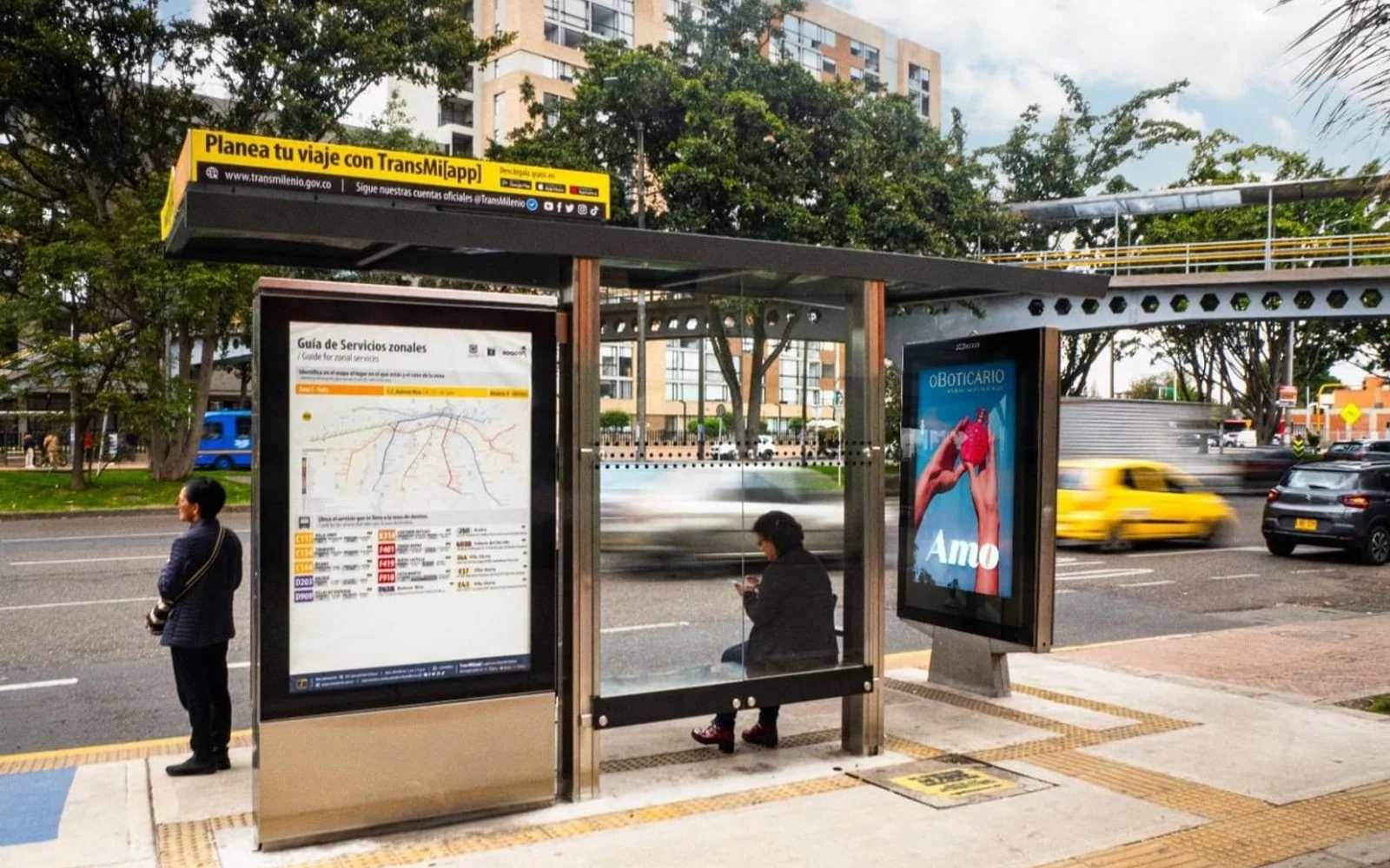
For JCDecaux and Transmilenio, we built the urban information platform that feeds more than 3,000 digital totems in Bogotá. It consolidates live APIs (GPS bus arrivals, weather, air quality) and pushes them to the screens with low latency. A QR code at the stop lets riders continue on their phone. The result: geo-referenced information across the network and an architecture ready to scale.
- Client
- JCDecaux × Transmilenio
- Sector
- Urban mobility · DOOH
- Where
- Bogotá
- Deliverables
- Live data platform
- API consolidation
- Feeds for 3,000+ totems
- QR continuity to mobile
- Services
Real-time information at city scale
Anyone waiting at a Bogotá bus stop needs to know which bus is coming and when. That information depends on several sources: GPS positions, schedules, weather and air quality. The challenge was to inform an entire city in real time, at more than 3,000 stops, without lag or downtime. An arrival time only helps if it is current, so low latency and uptime were conditions of the project from the start.
From live APIs to thousands of totems
We designed the platform data-first. It connects to the live APIs (GPS for bus arrivals, weather and air quality), consolidates the data and pushes it to thousands of totems with low latency. On screen, riders see the stop, the routes by color, the next buses in minutes with accessibility icons, the time, the temperature and an air-quality indicator; when no bus is scheduled, the screen says so. QR codes on the totem then carry the stop's routes to the rider's phone.
-
01
Live GPS arrivals
Arrival times come from the buses' GPS positions and appear in minutes, with the route number and accessibility icons, so riders see what is coming next.
-
02
Weather and air quality
Next to the arrivals, the totem shows the time, the temperature and an air-quality indicator, which turns the stop into a small urban information point.
-
03
QR continuity to mobile
QR codes on the totem send the stop's routes to the rider's phone, so the information stays with them after they walk away from the totem.
-
04
Low latency at scale
One data-first platform consolidates the live APIs and pushes updates to more than 3,000 totems, on an architecture that is ready to scale.
The project in pictures
2 images · Open any image to see it full size.
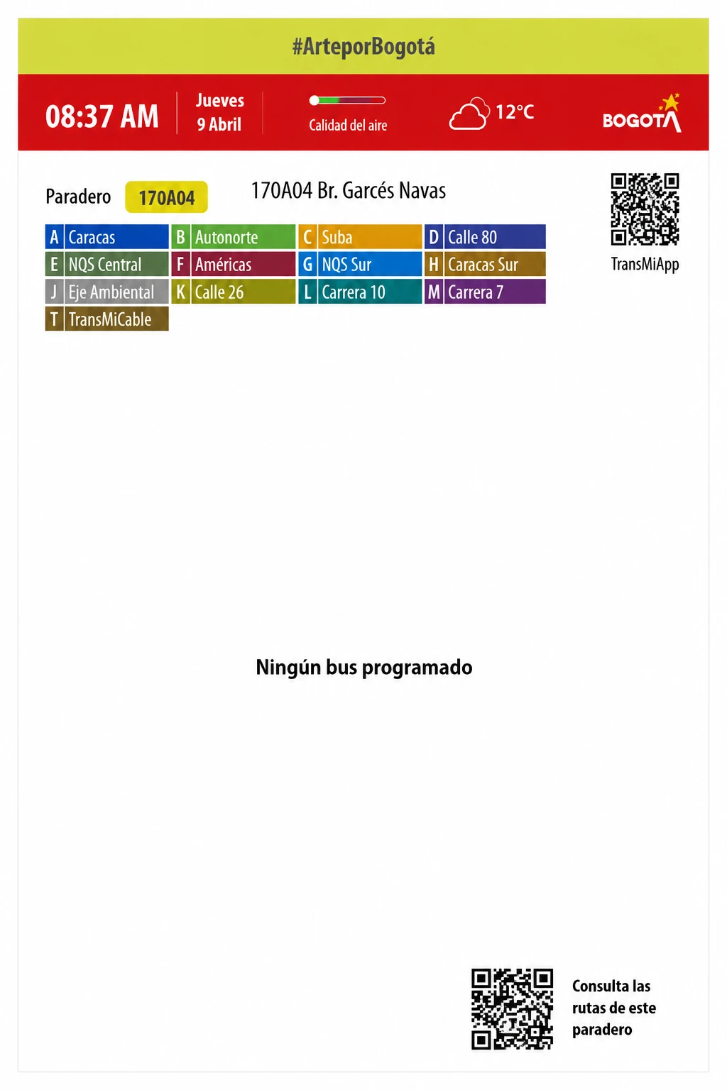
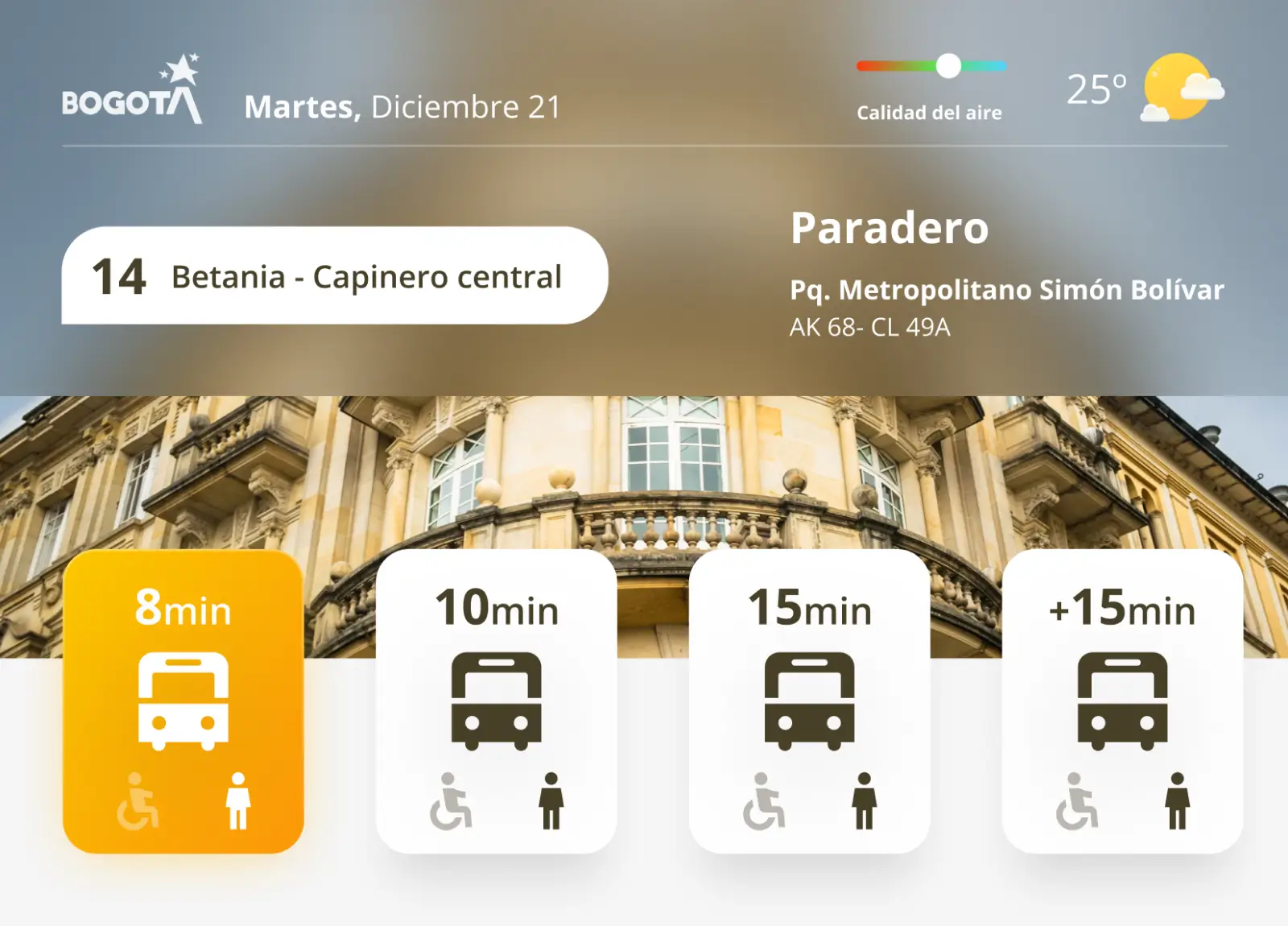
Geo-referenced information across the network
At Bogotá's stops, riders read live arrivals, weather and air quality on the totem, and can take the stop's routes to their phone with a QR code. The information is geo-referenced across the network, which supports better trip planning. For JCDecaux and Transmilenio, the platform is an architecture ready to scale.
- Live data on more than 3,000 digital totems in Bogotá
- GPS arrivals, weather and air quality on one screen
- QR continuity from the stop to the rider's phone
- A data-first architecture ready to scale
Cases close to this one
 Read more
Peoplesnap
Read more
Peoplesnap
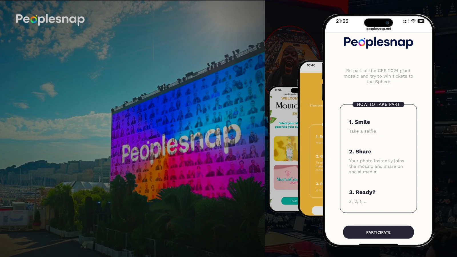
From smartphone to DOOH mosaic, without a single booth
Peoplesnap is Slash Experience's photobooth product: a white-label web app that turns each guest's phone into the activation. QR, selfie, AI editing (100+ parameters), social share, print and mosaics on event screens. Already live for Mouton Cadet, La French Tech Bordeaux, CEA Marcoule, Denver Pub Crawl, With Agency, We Love Beer and CES Las Vegas 2024.
Learn more →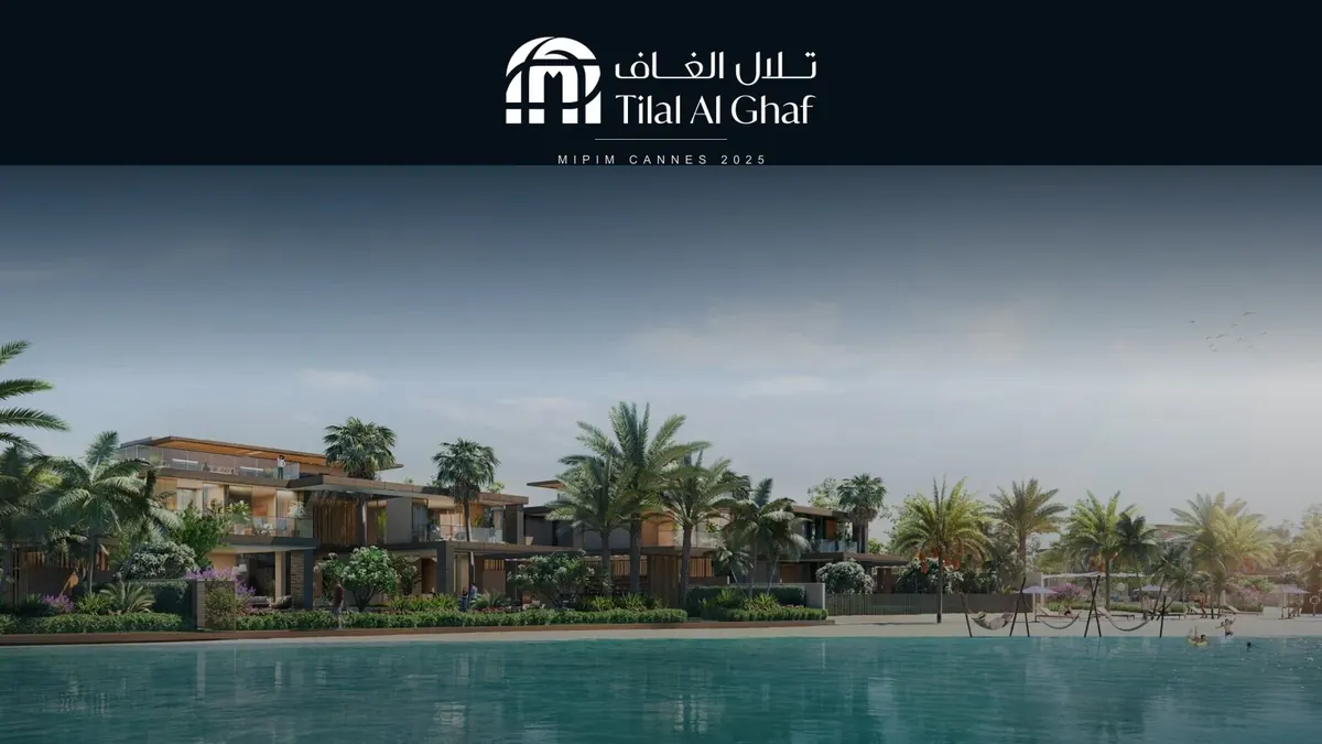 Read more
Tilal Al Ghaf · MIPIM
Read more
Tilal Al Ghaf · MIPIM
Dubai on the stand: projects and contact at MIPIM
Landing for Tilal Al Ghaf's (Majid Al Futtaim) stand at MIPIM Cannes 2025: present the destination's latest Dubai projects and make it easy to contact people visiting the stand.
Learn more → Read more
Colombia Tech Week
Read more
Colombia Tech Week
Gold Sponsor and the official week app
We bet on the talent redefining tech in Latin America: we were a 2026 Gold Sponsor and built the official app (agenda, directory, 1:1 meetings and chat).
Learn more →Let's put it in production
Tell us your challenge. We reply within 24 business hours with an honest first read: if we can help, we'll say how; if not, we'll say who can.
I reply personally. No endless forms, no canned replies.